
Torrington ZIP Codes and Coverage
The captured Torrington official sources do not provide one municipal ZIP boundary map or a ZIP-wide resident roster. They do provide a useful starting table. Torrington USPS is the address-level test, the Secretary of the State post-office list supplies postal labels, and the DMV Torrington page creates a question about 06792 that should not be silently resolved.
| ZIP | Areas or source label | Post office context | Research note |
|---|---|---|---|
| Torrington 06790 | Torrington on the SOTS post-office list | Primary Torrington mailing ZIP to test first | Verify the full address with USPS. |
| Torrington 06791 | Harwinton Branch - Torrington | Torrington-associated postal designation | Postal wording does not create a separate city boundary. |
| Torrington 06792 | Displayed in a Torrington DMV location context | Not confirmed in the captured SOTS Torrington post-office list | Open question; test the exact address through USPS. |
This table is deliberately cautious. The ZIP code directory should preserve a gap when official sources disagree instead of importing a commercial estimate or a generic map.
Confirm Torrington ZIP 06790
ZIP 06790 is the clear first test for a Torrington mailing address because the captured Secretary of the State post-office list identifies Torrington with that label. Torrington postal confirmation still belongs to the exact street number and suffix. A valid-looking city name does not prove that a Torrington assessor parcel, deed, or resident record lies inside a municipal line.
Run the address through USPS, save the returned postal city and ZIP, and compare the result with the assessor situs and owner mailing lines. If the postal city differs from the parcel’s municipality, keep both labels. They answer different questions.
The Connecticut post-office list is the source for the Torrington-facing ZIP labels used in this ZIP code directory.
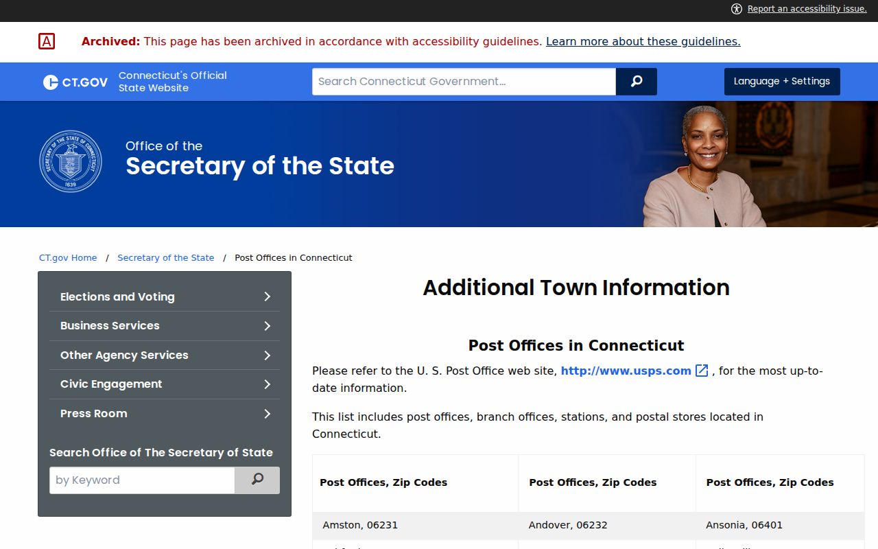
Torrington 06791 Branch Label
The SOTS list labels 06791 “Harwinton Branch - Torrington.” That wording is useful evidence about postal geography, but it is not a second Torrington municipal government or a parcel boundary. A searcher should keep the branch label exactly as published and ask USPS what city and ZIP the specific address returns.
For Torrington record work, compare three fields: postal city and ZIP from USPS, situs municipality from the assessor or GIS, and any mailing city and ZIP printed on the card or deed. A resident or owner record can carry one of those labels without matching the others.
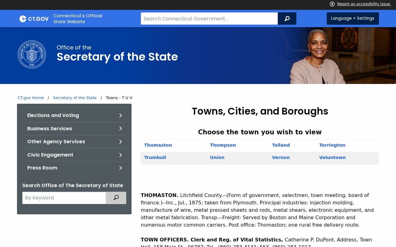
The Secretary of the State town listing supplies the official Torrington and nearby geography context for the 06791 label.
The Unresolved Torrington 06792 Label
The captured DMV Torrington location page displays 06790, 06791, and 06792 in its location context. The SOTS post-office list captured for Torrington does not confirm 06792 in the same way. That difference is a research finding, not a reason to list 06792 as a settled Torrington ZIP for every address.
Test 06792 only through the exact address. Check the USPS result, preserve the returned postal city, and ask the municipal GIS or postal custodian for boundary documentation if the question affects a parcel search. Do not use the presence of a number on one location page as proof of a citywide ZIP assignment.
Open question. The captured official sources do not document a ZIP split, realignment year, or official 06792 boundary for Torrington.
The honest ZIP code directory entry is “verify at address level” until a current source resolves the difference.
Keep “postal address,” “assessor situs,” and “municipal location” as separate labels in a Torrington residents directory search. A person lookup should inherit the label from the source that produced it.
Torrington ZIP and City Limits
A Torrington ZIP code is a mail-routing label. A Torrington city or town is a municipal geography. A parcel has a situs address and legal description. A census schedule uses an enumeration geography. Historical directories use the publisher’s street wording. These layers can overlap without sharing one boundary.
- ZIP code
- A postal routing area used to sort and deliver mail.
- ZIP+4
- An expanded delivery code used by USPS when the address supports it; it is not a parcel identifier.
- PO-box ZIP
- A postal label that may serve a box or branch and may not describe the physical parcel.
- Carrier route
- A delivery route within postal operations, not a resident or municipal list.
For a person or address search, label every statement as postal, parcel, municipal, census, or historical. That vocabulary prevents the ZIP code directory from overclaiming what a record says.
Torrington USPS-to-Assessor Check
The USPS ZIP Code Lookup is the final address-level check. Enter the street number, suffix, unit, and municipality as supplied. Save the standardized address, postal city, and ZIP. Then search the Torrington Assessor by location or street and compare the card’s situs and mailing fields.
- Preserve the original address, including directional and unit details.
- Run the full address through USPS and save the returned postal label.
- Search PropertyRecordCards by street and number, then save the MBL and UID.
- Open MapXpress to compare the parcel, address point, and municipal context.
- Use the ZIP only as a filter or label, then move to a street or name source for resident research.
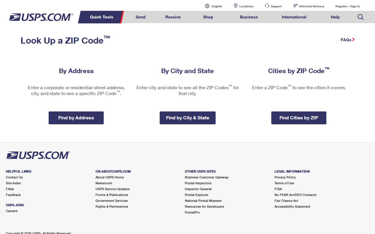
The USPS lookup form is the address-level source for the Torrington ZIP code directory.
Torrington ZIP Filters by Portal
Torrington ZIP support varies by record system. The captured Torrington Assessor search exposes street, owner, MBL, UID, category, condo, and sales modes, but no confirmed ZIP field. Torrington MapXpress is parcel and address based. The voter lookup is a town or name route, not a confirmed ZIP-wide public roster. Business and license portals may expose city or ZIP fields for a particular board or entity search.
| Assessor | Street, owner, MBL, UID, category, condo, and sales modes captured; ZIP field not located. |
|---|---|
| MapXpress | Parcel, address point, layer, and map extent; ZIP-wide filter not located. |
| Voter route | Specific public lookup and separate file request; ZIP-wide roster not captured. |
| eLicense | City, ZIP, or location fields may depend on the board and live form. |
| USPS | Address-to-ZIP verification, not ownership or residency proof. |
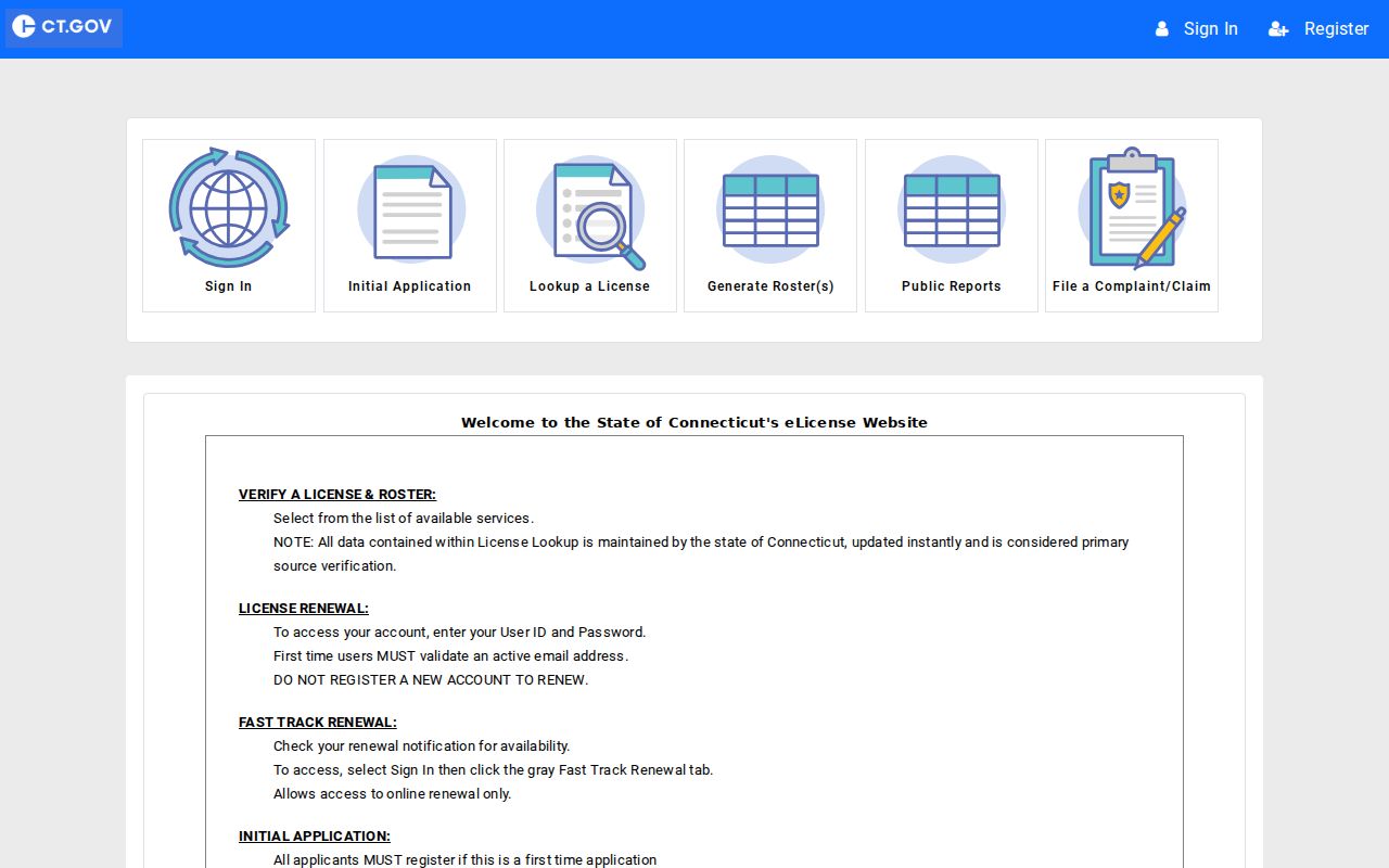
The Connecticut eLicense portal is a useful example of why ZIP fields must be checked by record type.
Torrington ZIP, Census, Directory
Historical Torrington work can cross several geographies at once. A directory may use an old street form. A census schedule may use a ward or enumeration district. A Sanborn sheet uses a dated street grid. A current assessor card uses a parcel and MBL. The ZIP code directory should never force those layers into one modern boundary.
The Torrington/Winsted library shelf and Beardsley scans are especially useful for a dated address, while the National Archives census release adds household context. When an old address does not match a current ZIP or street, copy the original form, compare the map, and search the City Clerk’s legal description or a historical index.
Note: A postal ZIP can help sort a search, but the parcel MBL is the stronger bridge between modern property systems.
Torrington Registration Statistics
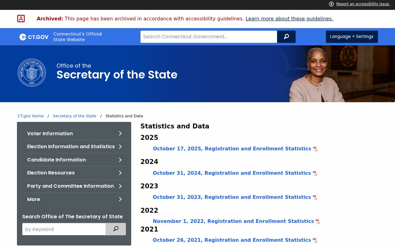
Torrington state election statistics can give town-level context, but a statistic is not an individual resident record. The captured SOTS statistics route publishes registration and party totals where available. Use those totals to describe the scale or change of the roll, not to infer which person lives in a ZIP or voted in an election.
A ZIP-specific registration total was not captured. Do not turn a town total into a ZIP estimate. If a research question needs a full voter file, use the current state request process, confirm the fields and fee, and follow the restrictions that come with the file.
The SOTS statistics route shows the difference between town-level election context and a ZIP code directory.
Torrington ZIP-Wide Search
A Torrington ZIP code directory search is most defensible when the unit of analysis is stated. The unit may be a USPS-deliverable address, an assessor street result, a parcel set, a town registration statistic, a census geography, or a historical directory run. These are different sets, and they should not be presented as one roster.
Use the Torrington street directory once the ZIP narrows to a street or address. At the parcel level, compare situs and mailing fields and preserve the MBL/UID. At the person level, use a dated source such as a voter match, court party, directory entry, or business affiliation. Stop when the requested result would require a protected field or an unsupported inference.
Lawful personal use. ZIP research can support genealogy, address correction, civic context, and family reconnection. Do not use postal or public-record data to stalk, harass, intimidate, or harm anyone.
When a Torrington ZIP result points to a person, return to the address and name sources instead of expanding the ZIP into a list. The assessor can test a street and save a parcel key. MapXpress can show whether the parcel sits in Torrington’s mapped setting. SearchIQS can test a recorded party, and the library can supply an older directory line. The Secretary of the State voter route can answer a specific registration question, but it does not turn the postal area into a public household file.
For a request to an office, identify the exact address, the ZIP returned by USPS, the municipal label, and the record series sought. Explain whether the goal is a parcel, a historic household, a town statistic, or a particular person. That small amount of detail helps a clerk or registrar route the request and prevents postal geography from doing work it cannot do.
The Torrington ZIP code directory is most useful when it explains the boundary uncertainty instead of hiding it.