
Finding People Along a Torrington Street
The street directory workflow is address-first. Preserve the original street string, directional prefix, suffix, number, unit, and postal ZIP before normalizing anything. The Torrington Assessor’s street selector can return parcel cards, while MapXpress can confirm the address point and parcel shape. SearchIQS then lets a researcher move from a recorded owner to an earlier grantor or grantee.
Use a second record family for the question at hand. A Torrington voter match may support a registration connection. A Torrington permit can show an applicant or project date. A Torrington historical directory can show a name printed at the address in a given year. Each source describes a different relationship to place, so the Torrington street directory should name the source type and date beside every result.
- Enter the street number, street name, unit, and Torrington municipality exactly as known.
- Use the assessor card to save the situs address, mailing line, MBL, UID, and update date.
- Open MapXpress and click the parcel or address point to check nearby lots.
- Search the deed index with grantor and grantee names, then read the legal description.
- Compare the result with a dated voter, permit, directory, newspaper, probate, or business record.
This sequence keeps a Torrington street-by-street search useful without flattening an owner, a directory-listed occupant, and a permit applicant into one label.
Torrington Records Indexed by Street
A Torrington street directory can draw from several address-keyed layers. They overlap, but they are not interchangeable. The coverage table shows what the source can contribute and where the inference must stop.
| Address layer | Search key | Useful result | Limit |
|---|---|---|---|
| Torrington assessor card | Street, number, unit, owner, MBL, UID | Indexed owner, parcel data, value, use, and sale clues | Not every person at the address or a certified title |
| Torrington MapXpress | Parcel, address point, map browse | Adjacent parcels, layers, imagery, and identifiers | Not a survey or household roster |
| Torrington SearchIQS index | Grantor, grantee, date, book/page, instrument | Recorded parties and transfer trail | Does not list every occupant |
| Torrington OpenGov permits | Address or application | Work description, applicant, status, dates, final clues | Current online cutoff is March 18, 2024 |
| Torrington voter route | Name, town, district where exposed | A specific registration match | Not a casual block roster; protected addresses are withheld |
| Torrington historical directories | Name, year, street or reverse section | Dated occupant or business line | Arrangement and completeness vary by volume |
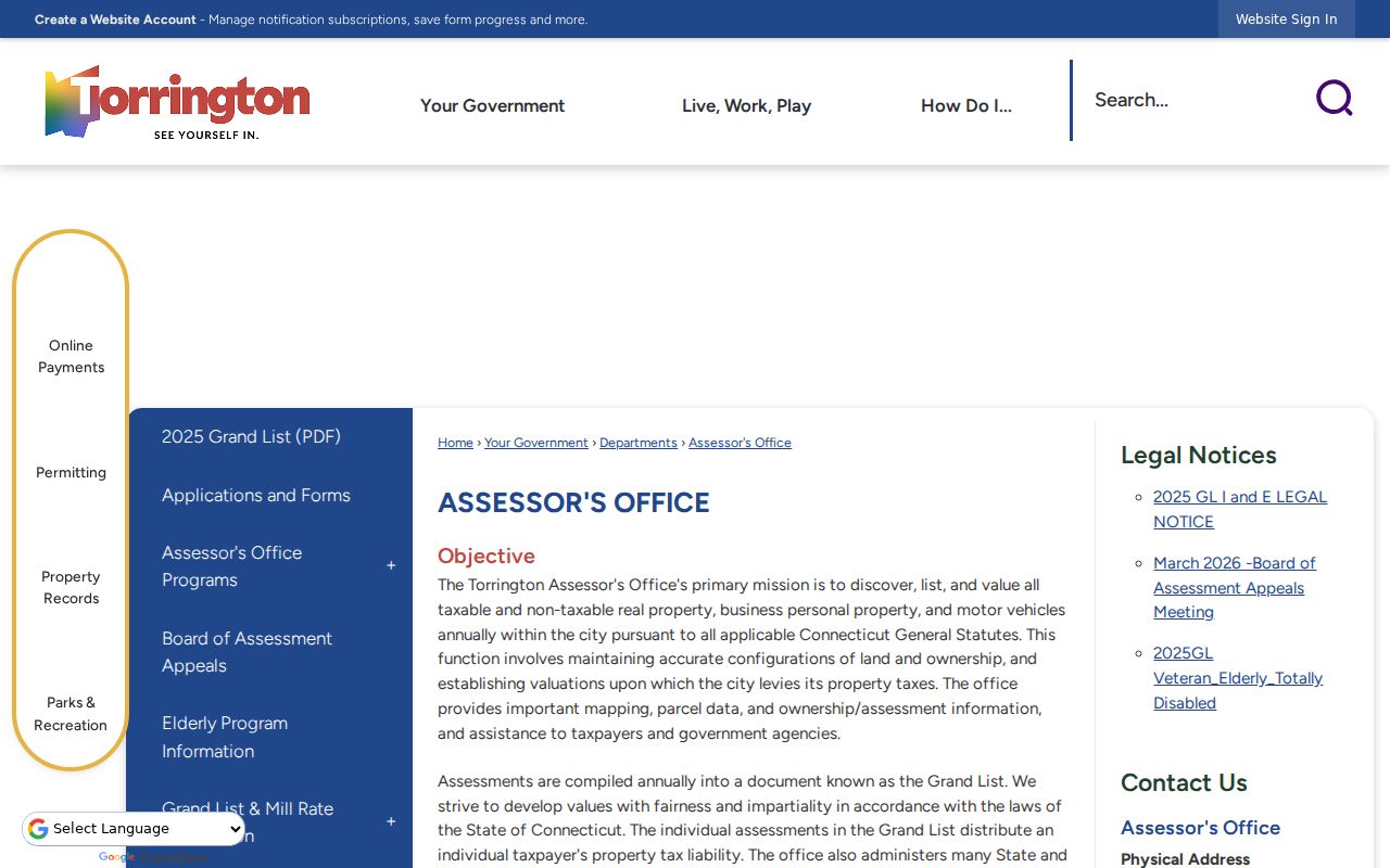
The Torrington Assessor office page is the public route for the property-card system. The card’s assessment date and indexed owner should travel with the result. A street directory that omits those dates invites a false sense of currency.
Enter Torrington Streets Precisely
The Torrington assessor normalizes street names through a selector, but old Torrington directories, deeds, newspapers, and permits may use different forms. Try “Street” and “St,” preserve directional words, and test a unit separately. Do not silently fix an old spelling in the notes. Keep the original form beside a normalized display label.
A Torrington street number may also represent different physical moments. The 1923 Torrington city consolidation changed the municipal setting, while older village references can point toward Torringford or an earlier town description. The captured sources did not establish a dated citywide renumbering or renaming project. A missing match should therefore trigger a question to Torrington City Planning, Engineering, or GIS rather than an invented crosswalk.
- Situs address
- The physical location of the parcel or project, used for map and permit work.
- Mailing address
- Where correspondence is sent for an indexed owner; it may differ from the parcel.
- MBL
- The slash-separated parcel key, such as 126/025/007, used to bridge assessment, GIS, and deed work.
- UID
- A separate property-record identifier, such as 9983 in the captured sample card.
These Torrington terms matter because a postal address, parcel key, legal description, and directory line can each describe the same place in a different system.
MBL, UID, and Torrington Address Points
The captured Torrington sample card for 64 Wilmot Street shows how a street number is only one part of the property identity. Its MBL is 126/025/007 and its UID is 9983. The card also includes a property type, acreage, zone, census field, assessment values, and a volume/page clue. Use those keys to keep a search on the same parcel when names or street forms change.
The Torrington MBL is not a legal description, ZIP code, lot number, or proof of residence. The Torrington UID is not a replacement for the MBL. A Torrington deed may describe a lot, easement, map, or boundary in words that do not match the modern location field. The strongest street directory notes keep the key, legal description, and map result together.
The Torrington Assessor route explains where the property-card search begins for a street or parcel.
Record the card’s update notice. The captured portal displayed an August 19, 2026 update notice, while a sample card was last updated April 21, 2026. Those dates describe portal and card currency, not the date a person moved.
Open MapXpress for Adjacent Parcels
The Torrington MapXpress landing page leads to the interactive viewer. Turn on Parcels and Labels and Address Points, search or zoom to the street, and select the target parcel. The viewer exposes Multi Select, Buffer, Measure, Parcel Information, print, graphics, and layer controls. A buffer can define a research group, but it is not a legal definition of a neighbor.
Useful Torrington contextual layers include streets and utilities, zoning, historic districts, flood areas, wetlands, protected open space and easements, neighborhood or POCD context, imagery, and Grand List sales. The viewer is informational and carries an as-is, no-warranty notice. Use a recorded plan when a Torrington boundary matters.
The MapXpress GIS route supplies the parcel and address context for the Torrington street directory.
For each Torrington adjacent parcel, save the MBL or UID, visible address, selected layers, map date, and source label. Then open assessor cards one parcel at a time rather than assuming that every indexed owner is physically present.
Trace Torrington Deeds by Party
The Torrington land-record chain is municipal, with SearchIQS providing the online index and images where available. Search the latest indexed grantee, read the grantor, then search that grantor as an earlier grantee. Grantor means the party conveying an interest; grantee means the party receiving it. Search both roles because a name can enter and leave a parcel through different instruments.
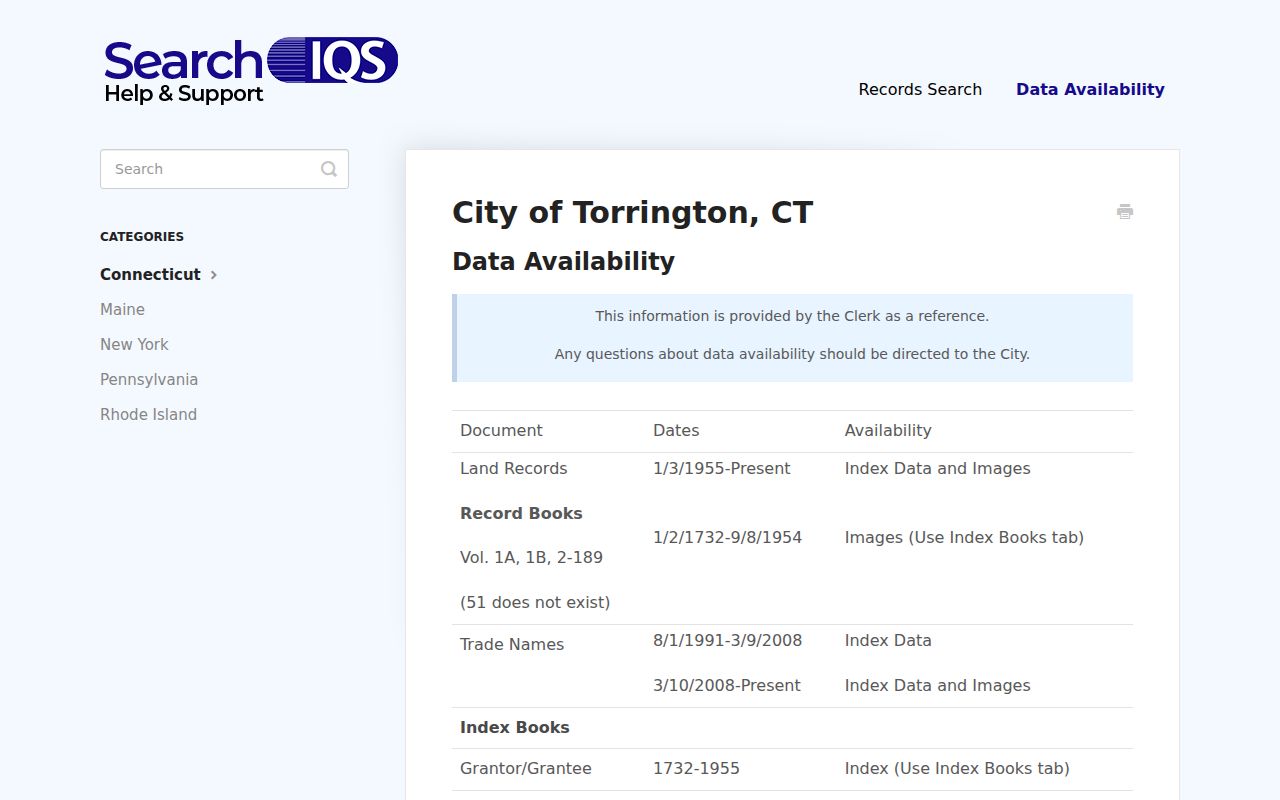
Observed Torrington SearchIQS fields include Party 1, Party 2, date range, document group, town, book/page, instrument number, and case number. SearchIQS help describes index-book coverage back to 1732. The current help and an older Torrington PDF differ over an early-1960s image cutoff. A missing scan is therefore a reason to save the book/page and ask the City Clerk, not a reason to stop the chain.
The SearchIQS Torrington help page documents the coverage and the image/index difference that affects a street directory search.
Search alternate spellings, initials, married names, entity captions, trustee names, and estate labels. A Torrington deed chain proves a recorded interest, not a complete address history or a current occupant.
Add Torrington Permits and Certificates
Torrington permits are a dated address layer. The Torrington OpenGov portal covers current permit and application files from March 18, 2024. A record can show an application or owner name, address, work description, status, dates, and final Certificate of Occupancy or Certificate of Approval clues. It does not show every person connected to a building.
Older Torrington permits are a staff-request path through the city’s title and property-search instructions. Ask for the address file and state the approximate date, project type, and desired final document. An application title is weaker than a final approval, and a contractor or applicant may not be the owner or occupant.
The OpenGov permit portal is the current online address route used in a Torrington street directory workflow.

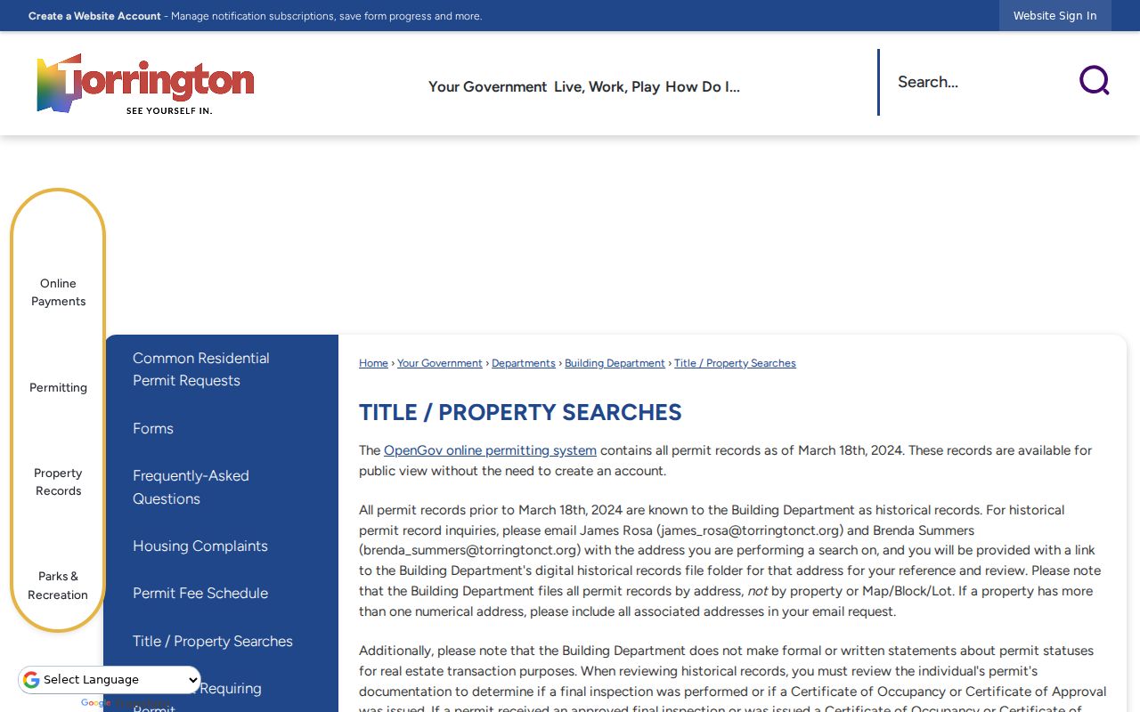
The City title and property-search instructions also warn that a formal written property-status opinion is not supplied through the page. Treat the permit as evidence of an application or project, and keep the source date.
The Torrington title and property-search page is a useful companion when a street lookup needs the city’s own scope warning before a formal request.
Read Older Torrington Streets
When the goal is a past occupant, the city directory shelf and digitized scans are more useful than a current parcel card. Torrington Library holds a Torrington/Winsted run from 1890 to the present. The page does not promise that every volume has a reverse or criss-cross section, so confirm the arrangement year by year. A criss-cross directory reverses the usual name-to-address order and can turn an address into a dated name lead.
Pair the directory line with a Sanborn sheet, newspaper, census schedule, or deed. The 1909 Library of Congress map set can show a building footprint and street intersection, while the directory supplies a name or business line. The map does not name every person, and the directory does not establish a current resident.
Note: Copy the old street spelling and number before comparing it with the modern assessor selector or GIS address point.
Use Voter Records Along Streets
A public voter lookup can confirm a specific registration match when the state form returns one. It is not a street-wide roster. The SOTS lookup was blocked during capture, so the official form and Torrington registrars remain the authority for current field behavior and file requests. A full voter file is a separate controlled process with a captured $300 CSV charge and use conditions.
For a street directory, use voter data only after the parcel and name are already anchored. Save the town or district information the official result actually shows. Do not infer a household from a name match, and do not try to reconstruct an Address Confidentiality Program participant’s real location.
Street-level caution. A voter result is a registration record for the searched person. It is not proof that every person at the address is registered or physically present.
A missing name can reflect list maintenance, a spelling choice, a status change, a protected address, or an unavailable form. It is not proof that a person never lived on the street.
What a Torrington Street Directory Cannot Show
Public street records usually cannot reveal every non-owner occupant, household member, utility customer, delivery recipient, or protected voter. A property card may name an entity, trust, or estate. A permit may name a contractor. A mailing line may lead outside Torrington. A historical directory may be stale or contain an OCR error.
The federal Driver’s Privacy Protection Act limits motor-vehicle address information. Connecticut’s Address Confidentiality Program substitutes a mailing address for qualifying participants. Sealed, juvenile, erased, adoption, medical, and other protected records may be withheld. These limits belong in the street directory itself because address research can otherwise overreach.
Lawful personal use. Address records may support genealogy, house history, family reconnection, and civic research. Do not use a street search to stalk, harass, intimidate, or harm anyone.
The defensible conclusion is narrow: a named public record connects a person, entity, or event to a parcel or street at a stated time. That wording is more accurate than a claim about everyone who lives there.
Request an Older Torrington Street File
When a portal fails, use the custodian chain. The City Clerk can explain land-book access, image gaps, copy rules, and records held at the municipal counter. The Assessor can answer questions about a card or parcel key. The library can help with directory and newspaper searches, while the Historical Society can take an appointment for local maps, homes, events, and the Torrington Register index.
A Connecticut Freedom of Information request should name the existing record, date range, address or parcel key, preferred format, and contact information. Ask for inspection or a copy, not for staff to create an opinion about who lives at the address. If a record is held by a state office, court, or Probate District 24, send the request there instead of treating a city response as a complete search.
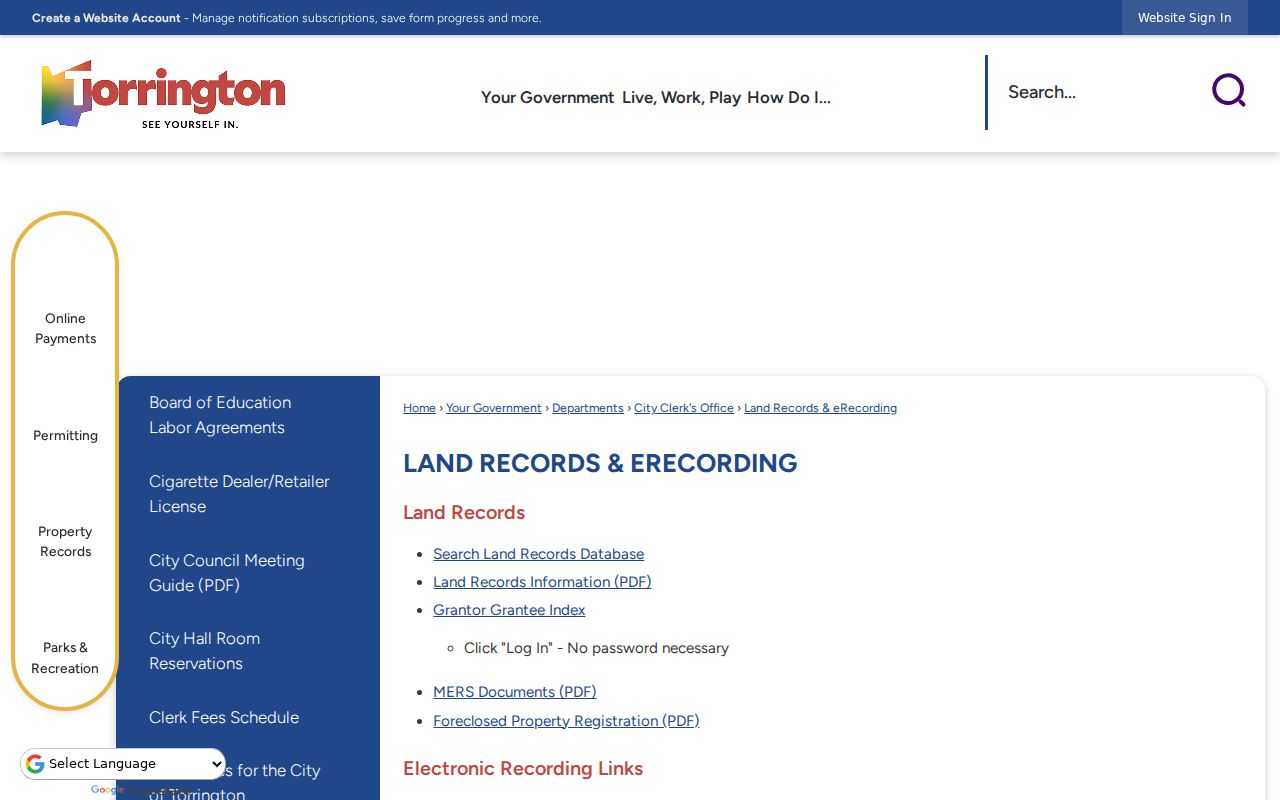
The Torrington land-record and eRecording page is the local starting point when the online street directory chain needs a clerk-held record.
Before traveling, note the Torrington City Clerk’s different general and land-record hours. Ask about certification, copying, ID, and any current charge. A careful Torrington request preserves the Torrington street trail instead of filling a gap with a guess.